Winter Storm Watch For The Quad Cities
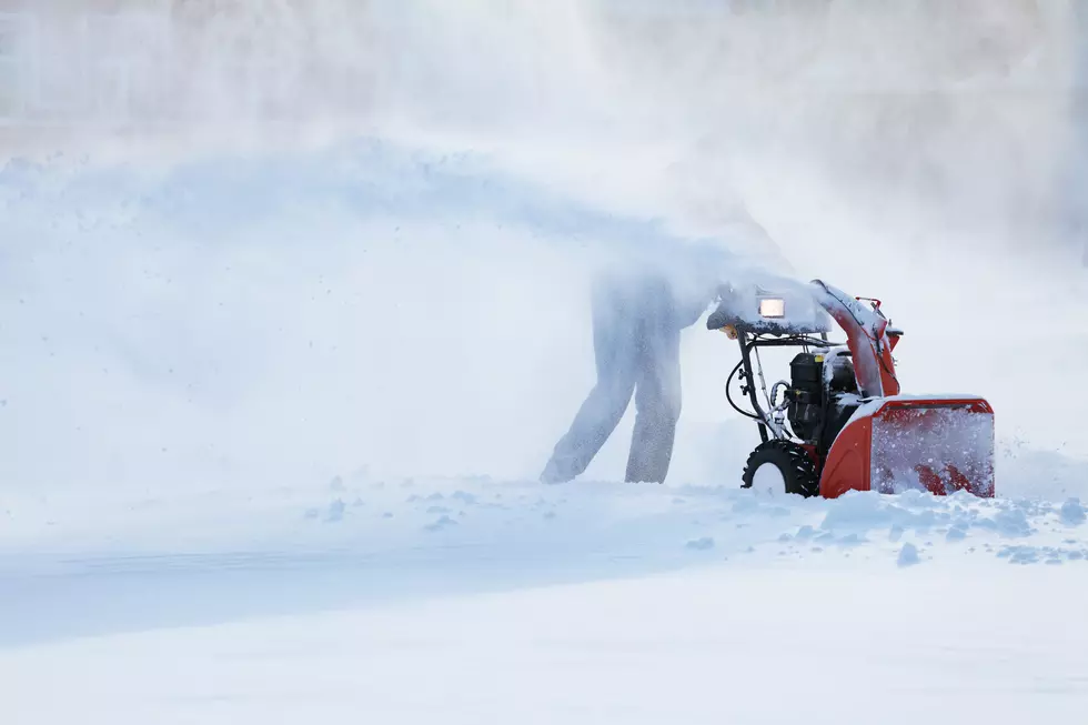
Here we go again. Another winter storm has its sites set on Iowa and Illinois with more snow and the always dreaded ice.
The heaviest areas could see snow amounts between 6 and 12 inches. The band currently appears to be setting up roughly from Ottumwa to Iowa City to the Quad cities, but that could change with later forecasts. Areas north of the band could see 3-6 inches with 2-6 inches and ice up to one-tenth inch south of the heaviest snow band. Winds could gust as high as 35 mph.
The snow, and/or ice, is expected to start around noon on Monday and continue until about noon on Tuesday.
Areas in the watch stretch from Waterloo to Peoria with western Iowa in a Winter Storm warning.
The National Weather Service says expect hazardous travel conditions across the area and is encouraging people in the watch and warning area to delay or cancel any travel plans during the period of the storm.

Essential Winter Emergency Kit Items
More From I-Rock 93.5